
Synthetic Earth Observation Data
Products by Another Earth

Synthetically generated data for any resolution, featuring multispectral capabilities, precision segmentation and labels. We empower AI model training for Earth Observation.

Another Earth is building the predictive data layer for the physical world. Our products help organizations train better AI models, simulate future scenarios and understand how environmental and operational risks may unfold over time. Its technology supports more accurate, forward-looking decision-making across sectors including mining, insurance, infrastructure and climate-related risk.

Synthetic satellite image of Mahé, Seychelles, with houses, roads and coastline

Urban Data And Land Cover

Synthetic urban data generation paired with perfectly matched land cover labels. Simulate cityscapes to train AI models for urban sprawl analysis, infrastructure monitoring, and smart city development.

Top-down view of an açaí palm – high-fidelity tree species data

High-Fidelity Tree Species and Vegetation Data

Advanced synthetic data for species detection, vegetation management and environmental prediction. Train your models to seamlessly detect, count, and simulate tree populations across any satellite imagery resolution.
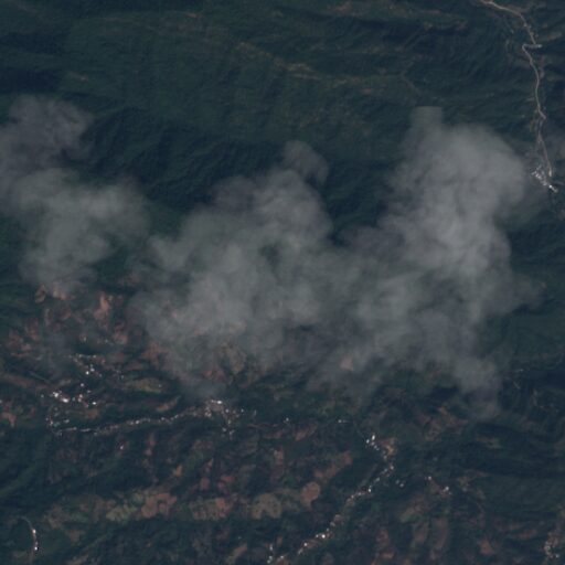
Synthetic satellite data with cloud cover for training cloud detection models

Cloud Detection & Removal

Synthetic cloud datasets designed for training advanced cloud detection and removal algorithms, ensuring you can consistently extract clear, actionable intelligence from any optical satellite imagery.
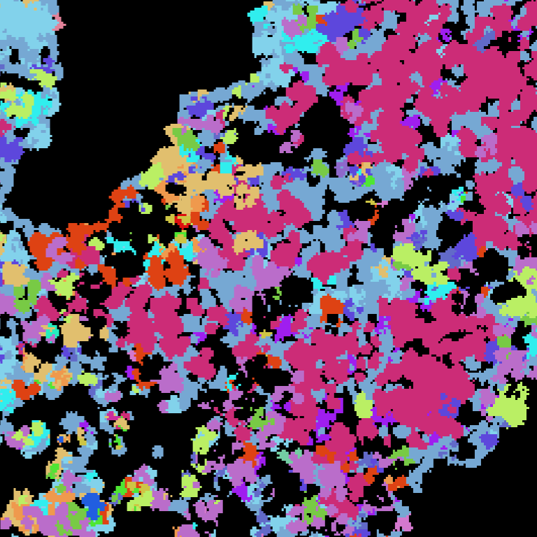
Color-coded tree species map of an Austrian forest – synthetic data for above-ground biomass estimation

Above-Ground Biomass

Synthetic datasets engineered to train, test, and optimise above-ground biomass (AGB) estimation models directly from satellite imagery, accelerating carbon monitoring and environmental impact assessments.
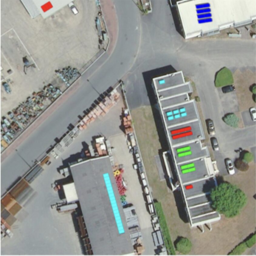
Aerial image of rooftops with solar panels – solar panel detection and counting with synthetic data

Solar Panel Detection and Counting

Synthetic Data for AI-driven detection and precise counting of solar infrastructure. Monitor renewable energy assets, track development progress, and assess energy capacity at scale.
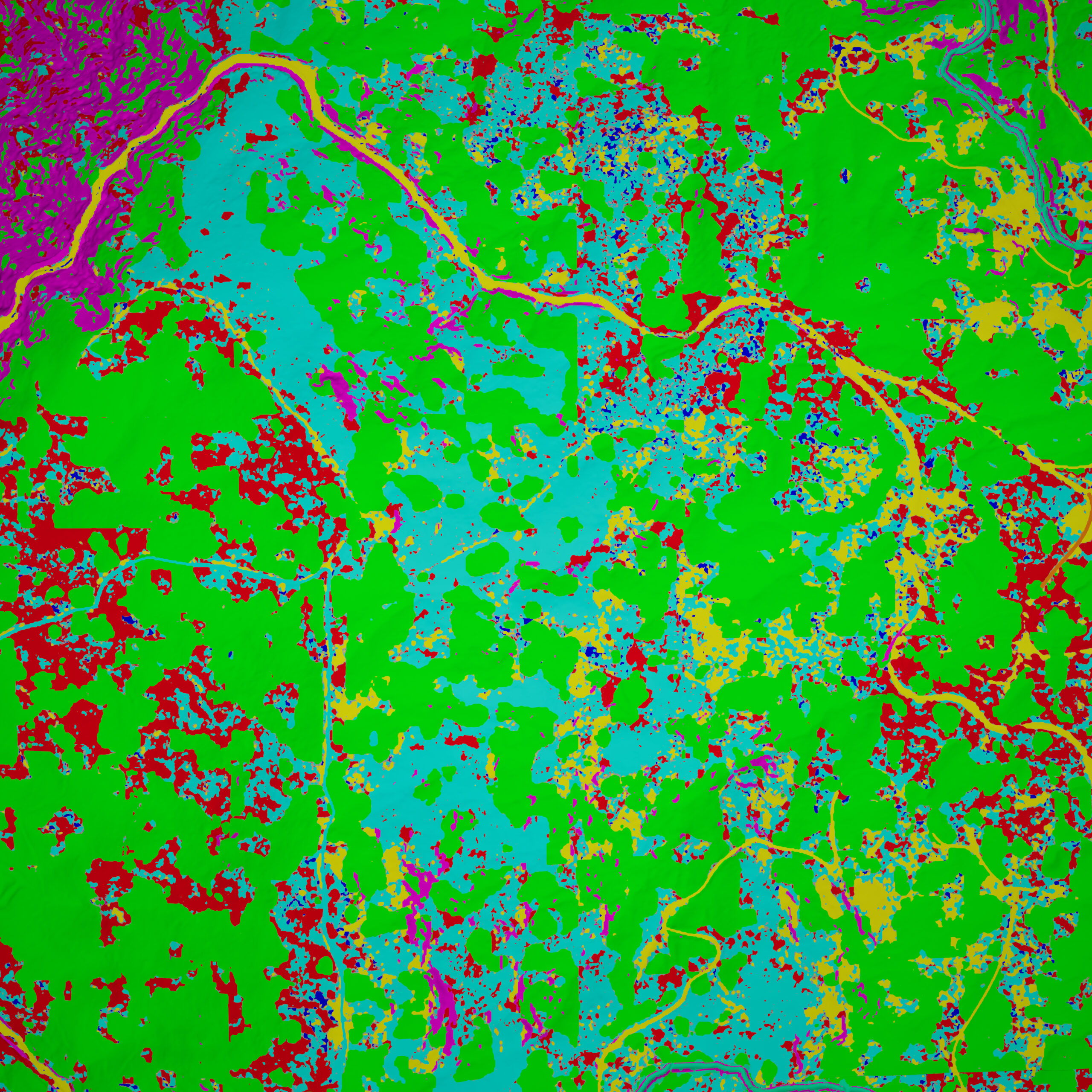
Synthetic US landscape with land cover segmentation by Clarity

Clarity Segmentation

High-precision, segmented land cover data powered by our proprietary Clarity Segmentation model. Deliver pixel-perfect classification for complex geospatial analysis.

See Our Products in Action

View all our case studies