

Through advanced simulation models and high-resolution synthetic Earth observation data, Another Earth transforms how geospatial AI models are trained. We enable organizations to train better AI models, simulate future scenarios, and understand how environmental and operational risks unfold over time across critical sectors.

Another Earth is building the predictive data layer for the physical world to enable forward-looking decision-making rather than retrospective monitoring.
Unlimited amount of synthetic training data with perfect pixel-level labels.
Significant reduction in costs and error rates through synthetic annotation.
Future-proof data through rapid adaptation to new sensors, resolutions, and regions.
Do more with less and dramatically reduce dependence on real-world data by up to 95%. Build and improve models even where high-quality labelled data is limited or unavailable.
Models trained with synthetic data can deliver performance improvements of around 20% versus real-data-only approaches.
Generate labels for rare objects, edge cases and remote areas where real-world annotations are scarce, expensive, or impossible to capture manually.
Go beyond retrospective monitoring and towards simulation and predictive modeling: Model how floods, land-use change, biodiversity shifts or infrastructure stress could alter any specific landscape on Earth over time.
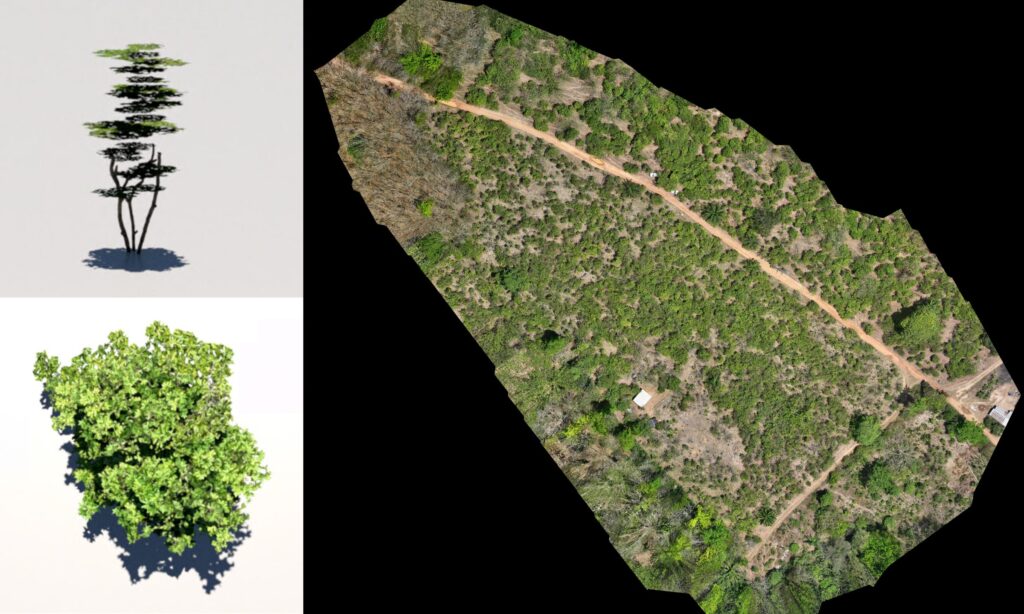
Our proprietary foundation models generate unlimited, pixel perfect variations for any place on Earth.
Foundation model fine-tuned to match target sensors, regions and resolutions whether satellite, drone or aerial data.
Procedural 3D Enhancement for pixel-perfect labels and scenario simulations.
You can see how this popup was set up in our step-by-step guide: https://wppopupmaker.com/guides/auto-opening-announcement-popups/