Geospatial AI Solutions by Industry:
Mining, Agriculture, Energy and Insurance

Where traditional approaches rely on incomplete or inconsistent datasets, Another Earth generates large volumes of high-resolution, labelled training data that allow AI models to understand complex physical environments, from forests and floodplains to mining sites and infrastructure corridors.
Mining and Raw Materials

Manage risk, monitor sites, measure and simulate the environmental and socio economic impact of mining sites. 

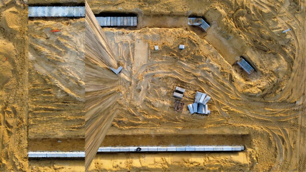
Aerial view of an open-pit mine in the desert – simulating environmental and socio-economic risk in mining

Energy and Critical Infrastructure

Monitor critical assets and map the supply chain.

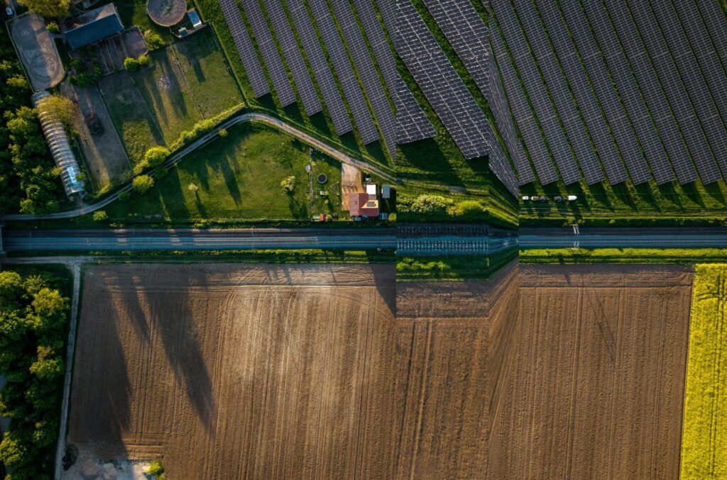
Aerial view of a solar farm next to a railway and farmland – predictive risk modeling for energy and critical infrastructure

Agriculture, Forestry & Carbon

Track deforestation, monitor ecosystem change, and predict disasters.

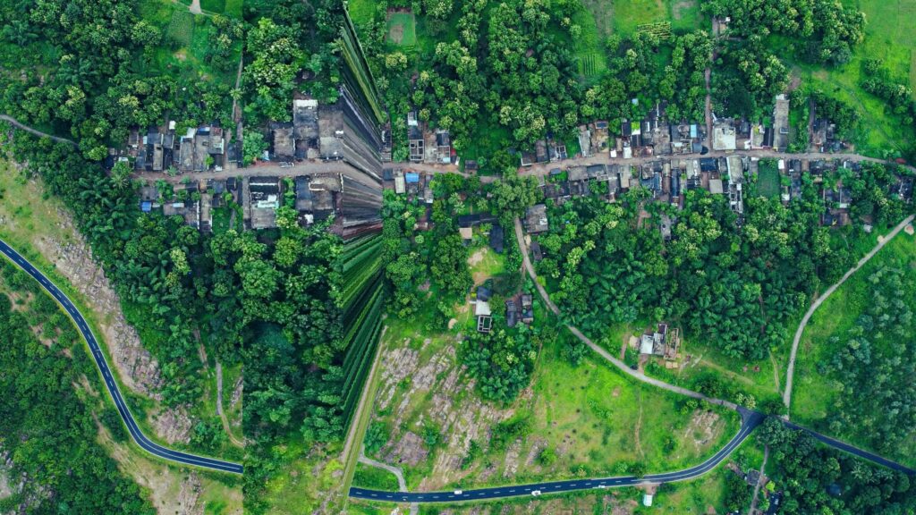
Aerial view of a village surrounded by forest – monitoring land-use change and deforestation

Environmental Monitoring

Monitor and simulate environmental impact

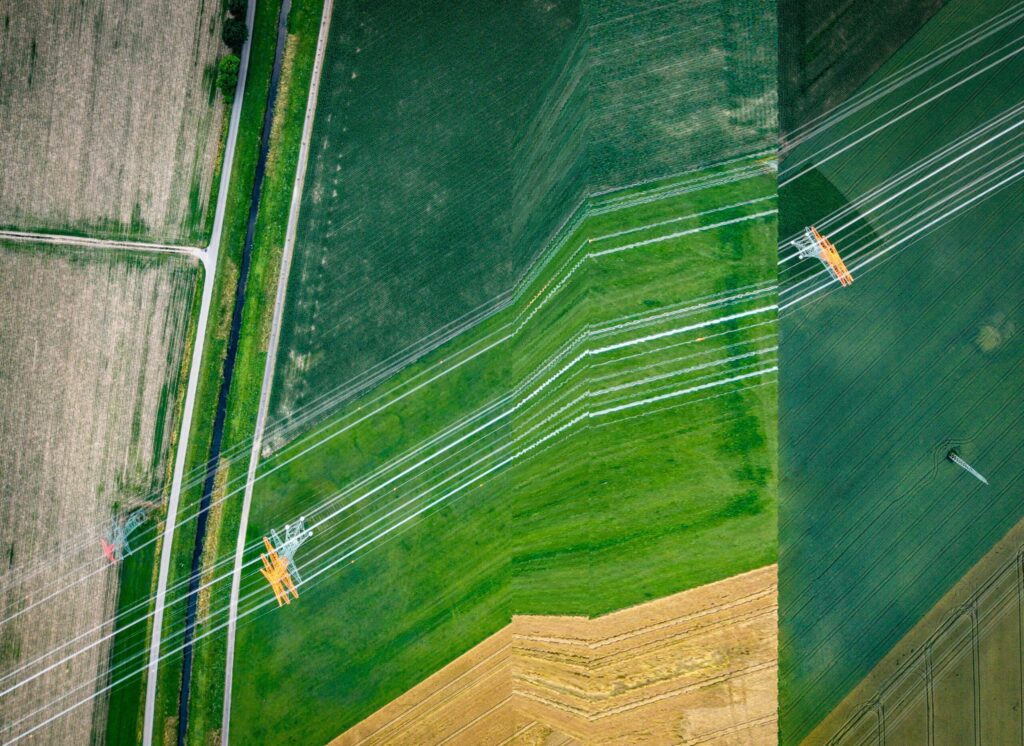
Power lines crossing a landscape seen from above – predicting grid risk from vegetation and heat stress

Custom Projects

Have an application in mind?

See Our Products in Action

View all our case studies