🛰️Satellite imagery: The “eye in the sky” for accountability.
Yet in many industries the reality is that real-world data is often insufficient. At least as a training base to build the robust models required to solve the industry’s current challenges and meet compliance and sustainability standards.
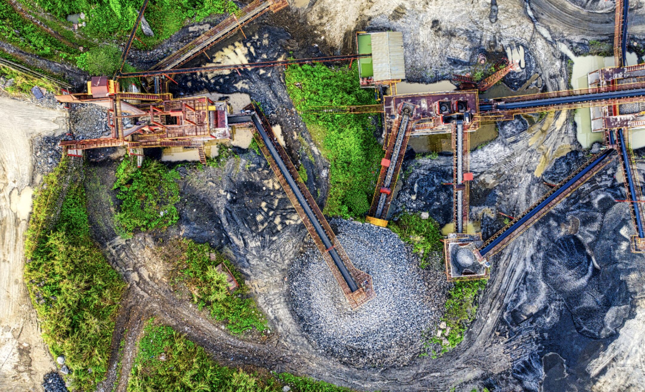
In mining, ESG is no longer a differentiator, it’s the baseline for operating at all.Yet the industry continues to struggle to align strict reporting requirements with what Earth observation technology can realistically deliver.
But what creates this #GeospatialESGGap?
🔄 Temporal inconsistencies and blind spots
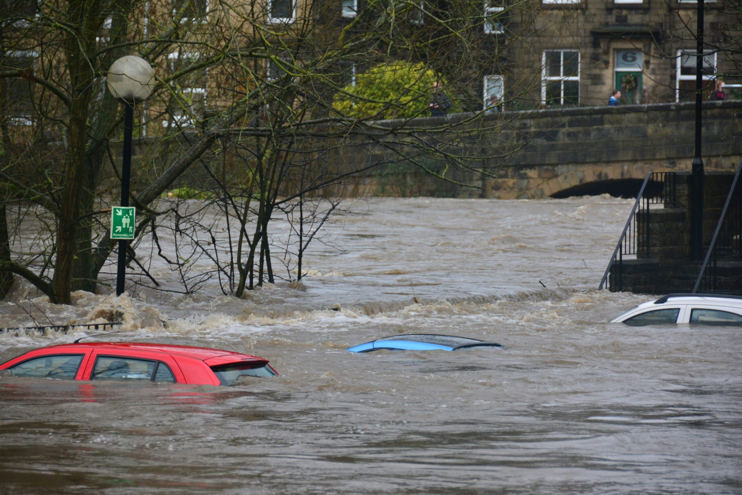
Consistent monitoring is essential for high-quality ESG insights. AI models must be able to detect subtle and rapid changes around mining sites, like tailing dam leaks or illegal activities, before they happen. However, cloud cover in tropical regions and infrequent satellite revisits create crucial data gaps. These blind spots limit the model’s ability to learn early-warning patterns and accurately identify approaching high-risk events in time.
📉 Ground-Truth Scarcity and Data bias
AI models struggle to move from detecting shapes (like pits) to understanding impact (like leakage). Labeled, diverse datasets linking satellite imagery to real-world chemical or social metrics remain scarce. Additionally, AI models are often biased toward data-rich regions, leading to poor accuracy in the Global South where ESG risks are often highest.
📐 Accuracy and Resolution Limits
While open-source data like Sentinel is invaluable, it often lacks the spatial resolution needed to detect subtle risks such as ground deformation. High-resolution commercial data, on the other hand, is often expensive and lacks the historical depth needed to train models on rare but catastrophic events.
Together, these challenges have created an #AccountabilityParadox in the mining sector. While investors and regulators demand transparent, near real-time ESG reporting, the data required to build the necessary technology for these challenges simply doesn’t exist in the quantity or quality needed.
#SyntheticSatelliteData could be a critical asset in providing a solution to the highlighted problems. With a relatively small amount of real-world input data, it is possible to generate large, high-quality synthetic datasets to train AI models for adequate monitoring and risk detection. Also, Synthetic Data helps overcome cloud cover by enabling training on combined SAR and synthetic optical imagery, allowing models to “see” through clouds and achieve the temporal consistency that traditional Earth observation lacks.
In a time where greenwashing is a multi-billion dollar risk, the ability to provide a perfectly labeled, unbiased foundation for ESG models isn’t just a technical advantage, it’s a prerequisite for the industry’s social license to operate.


Leave a Reply