
Synthetic satellite data, answered: The 5 questions we heard most
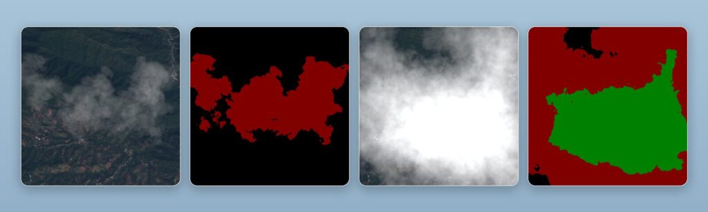
Synthetic satellite data came up in nearly every conversation across three events in June. Here are the five questions we were asked most, answered properly: what it is, why it matters when real imagery exists, how it handles cloud cover, whether it transfers to the real world, and where it is actually useful.
AI & Sustainability in the EO Industry: An honest look at the promise and the cost
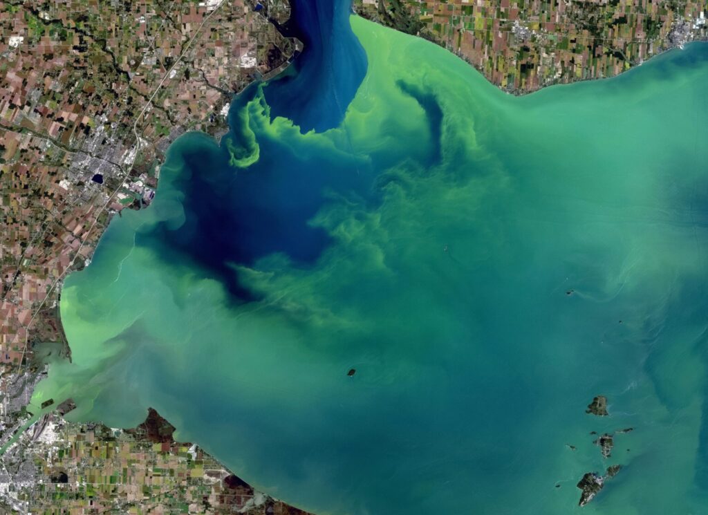
Every day, satellites circle our planet, collecting massive amounts of data about forests, coastlines, cities, and farmland. More than any team of analysts could ever read. The EO industries bottleneck is not a shortage of pixels but our ability to make sense of them quickly enough to act on what they show. This is where […]
🛰ï¸Satellite imagery: The “eye in the sky” for accountability.
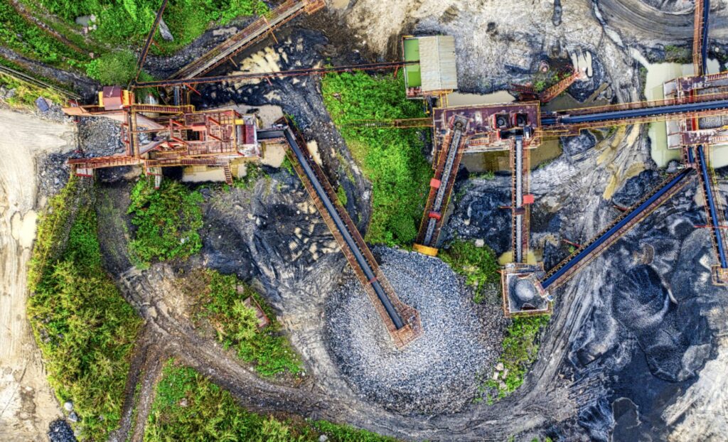
Yet in many industries the reality is that real-world data is often insufficient. At least as a training base to build the robust models required to solve the industry’s current challenges and meet compliance and sustainability standards. In mining, ESG is no longer a differentiator, it’s the baseline for operating at all.Yet the industry continues […]