
Asset-level risk needs asset-level data
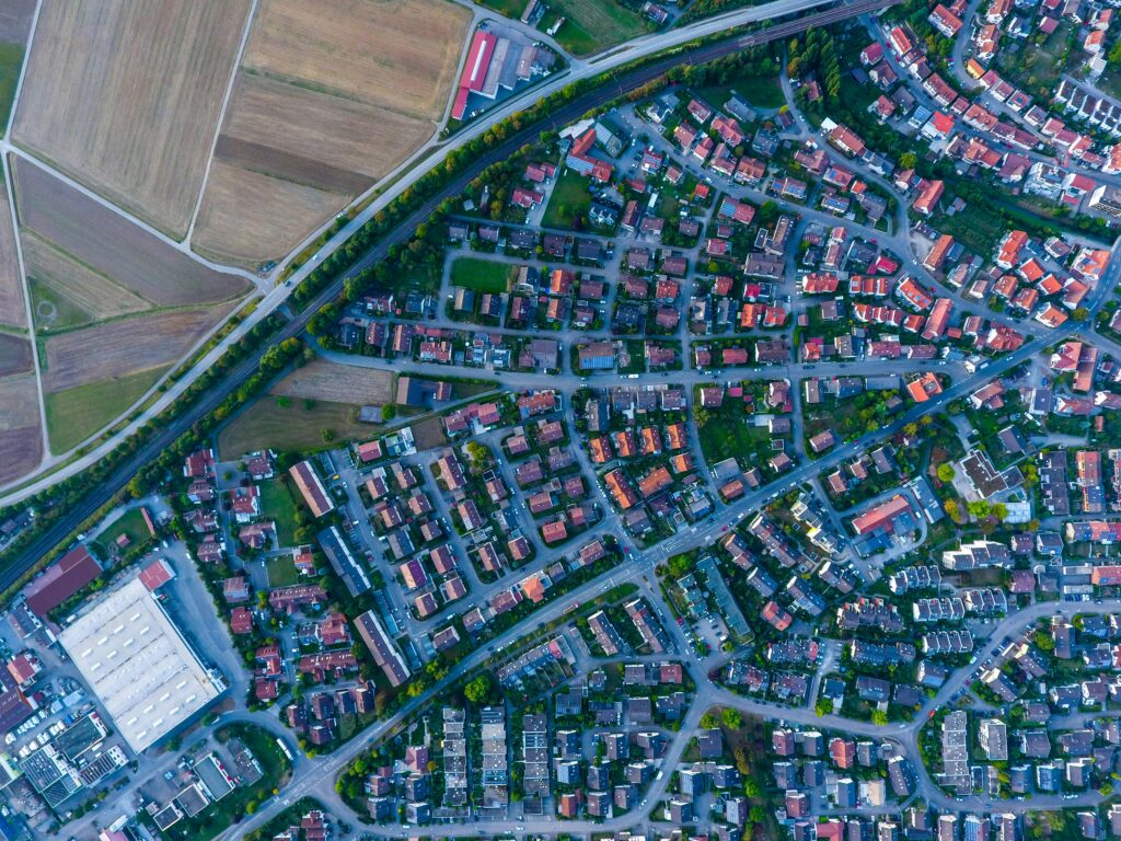
A physical risk model can tell an insurer how deep the water would reach at a single address in a severe flood, how hard the wind would hit it in a storm, or how intensely a fire would burn there. Models of this kind have improved substantially over the past decade, particularly for flood. The […]
Seven ways synthetic satellite data can solve a machine learning problem
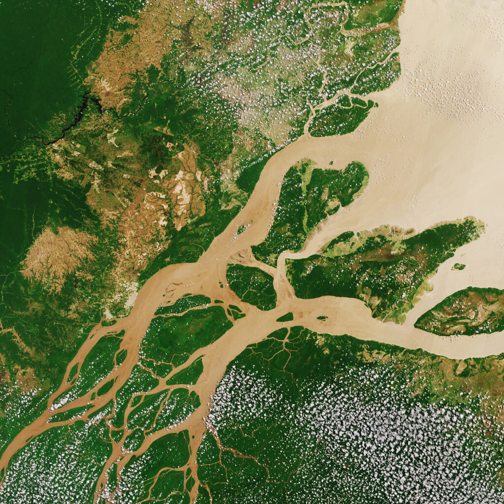
Behind most models that read satellite imagery sits a small set of hand-labelled images, and it caps what the model can learn. Synthetic Earth observation data removes that ceiling. This piece sets out seven practical ways it helps teams build and test models on satellite data.
Where solar goes: satellite data and the site-selection problem

Somewhere in the United States, a finished solar project is waiting. The environmental review has passed, financing closed long ago, the land is leased and the equipment is specified. The one thing missing is a letter from a utility confirming there is room on the grid. Lawrence Berkeley National Laboratory, which tracks these queues every […]
Synthetic satellite data, answered: The 5 questions we heard most
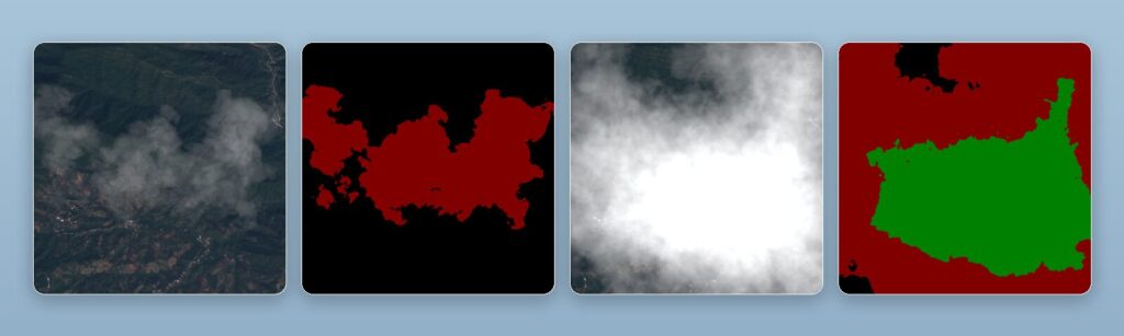
Synthetic satellite data came up in nearly every conversation across three events in June. Here are the five questions we were asked most, answered properly: what it is, why it matters when real imagery exists, how it handles cloud cover, whether it transfers to the real world, and where it is actually useful.
AI & Sustainability in the EO Industry: An honest look at the promise and the cost
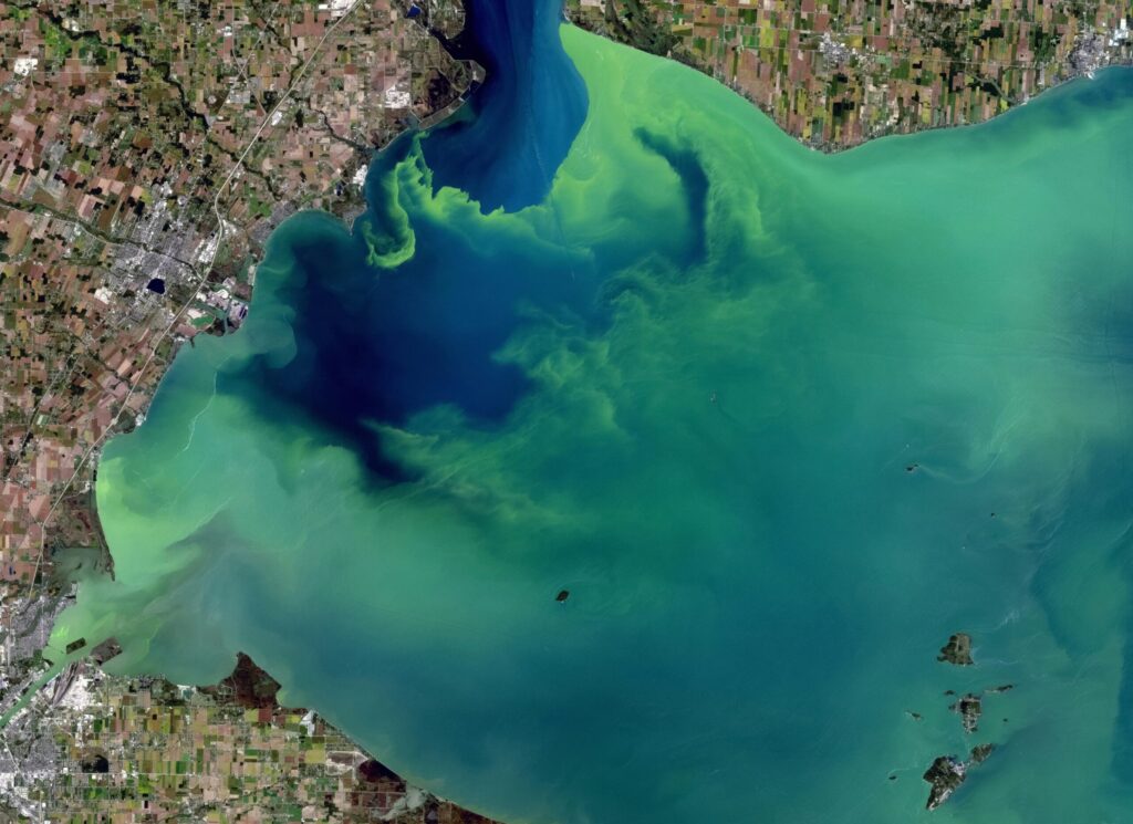
Every day, satellites circle our planet, collecting massive amounts of data about forests, coastlines, cities, and farmland. More than any team of analysts could ever read. The EO industries bottleneck is not a shortage of pixels but our ability to make sense of them quickly enough to act on what they show. This is where […]
🛰ï¸Satellite imagery: The “eye in the sky” for accountability.
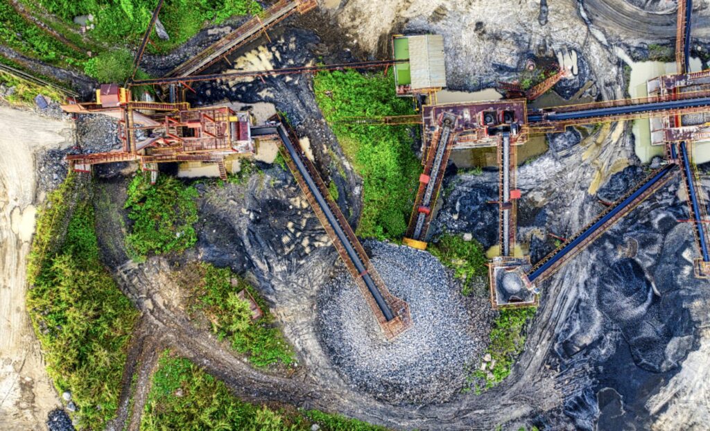
Yet in many industries the reality is that real-world data is often insufficient. At least as a training base to build the robust models required to solve the industry’s current challenges and meet compliance and sustainability standards. In mining, ESG is no longer a differentiator, it’s the baseline for operating at all.Yet the industry continues […]
Good News: Tropical Primary Forest Loss Dropped by 36% in 2024

Yesterday, the World Resources Institute released its latest forest data. 🌳 The good news: tropical primary forest loss dropped 36% from 2024. The bad news: the world still lost 4.3 million hectares of primary rainforest in 2025 alone. Additionally, forest loss due to wildfires has doubled in the last two decades, with smoke delaying the […]
BM Hanke: Weltraum-Start Up “Another Earth” dockt bei AI Factory Austria an
AI:AT ermöglicht Zugang zu europäischen HPC-Systemen, Unterstützung für synthetische Erdbeobachtungsmodelle https://www.ots.at/presseaussendung/OTS_20251229_OTS0023/bm-hanke-weltraum-start-up-another-earth-dockt-bei-ai-factory-austria-an Wien (OTS) - 29.12.2025 Die AI Factory Austria AI:AT begleitet mit “Another Earth†ein weiteres innovatives österreichisches Deep-Tech-Start-up beim Zugang zu europäischen Hochleistungsrechnern (High-Performance Computing – HPC). Das Unternehmen entwickelt KI-gestützte, synthetische Erdbeobachtungsmodelle und trainiert diese nun auf EuroHPC-Systemen. Damit zeigt die AI Factory Austria […]
Illegal mining: a global threat to our planet
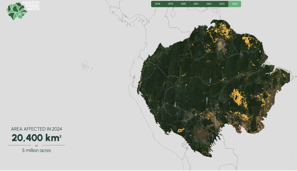
#ArtificialIntelligence is beginning to play a promising role in addressing this growing problem by analyzing satellite data to uncover illicit mining sites. The @Amazon Mining Watch platform is a fascinating example that demonstrates how the combination of these technologies can drive real change. Launched in 2020 by the @Pulitzer Center and @EarthGenome, with the support […]