
The solar on Brazilian roofs that nobody declared
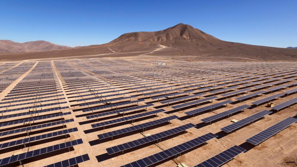
More than 3.6 million solar systems now sit on Brazilian roofs, façades and small plots, most of them on houses. More than half of financing requests for these systems come from consumer classes C and D, so this is ordinary household economics rather than a niche for wealthy owners. A large share of that fleet […]
Predicting power outages from space: the data behind grid resilience
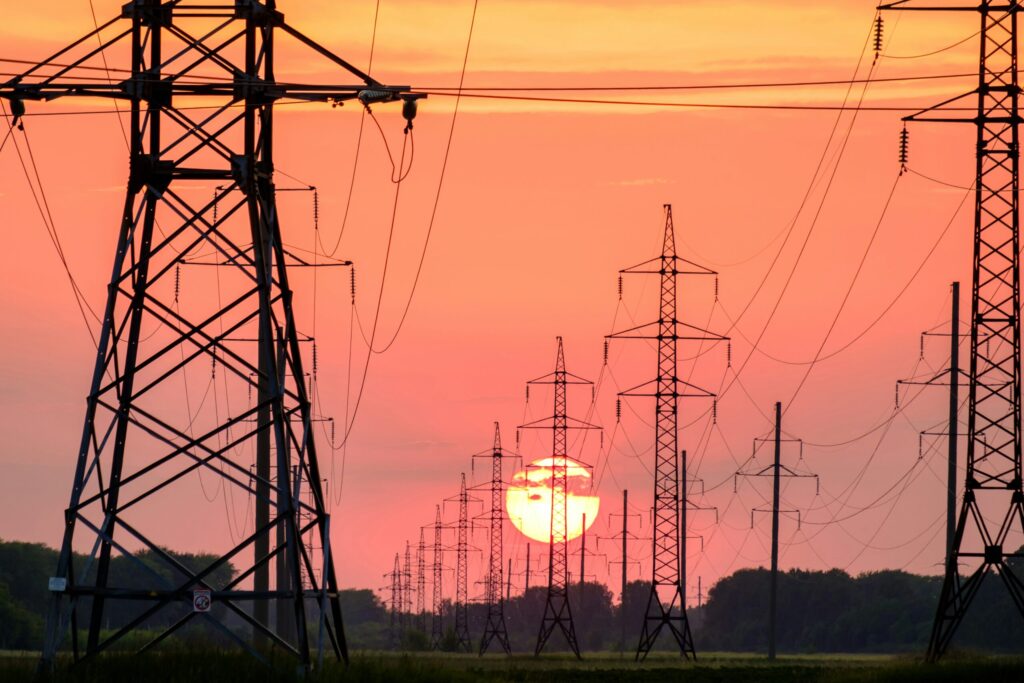
In the last week of June 2026, France recorded its hottest day since national measurements began in 1947. With temperatures climbing past 40 degrees, rivers warmed, and the infrastructure built to keep the lights on began to fail in ways that were, at least on paper, entirely foreseeable. A reactor unit at the Golfech plant […]
Synthetic satellite data, answered: The 5 questions we heard most
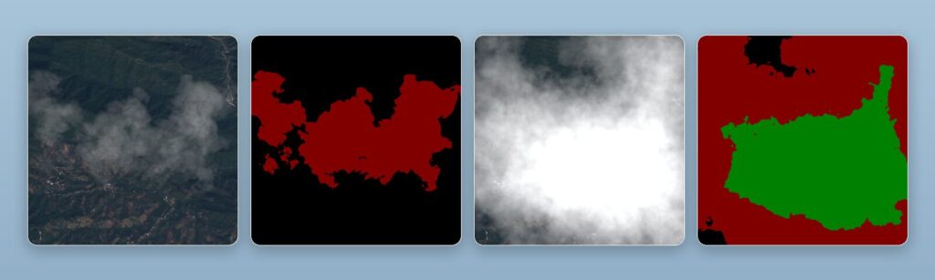
Synthetic satellite data came up in nearly every conversation across three events in June. Here are the five questions we were asked most, answered properly: what it is, why it matters when real imagery exists, how it handles cloud cover, whether it transfers to the real world, and where it is actually useful.
Infrastructure stress testing with synthetic data: preparing critical assets for extreme weather
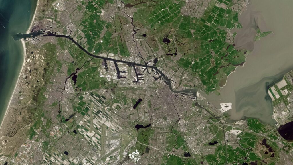
Most of the infrastructure we depend on was designed for a climate that does not exist anymore. Bridges, pipelines, power grids and transport corridors were engineered for the weather of the past, made to withstand the worst conditions recorded in the few decades before they were built. Infrastructure is generally built to the climate norms […]
AI & Sustainability in the EO Industry: An honest look at the promise and the cost
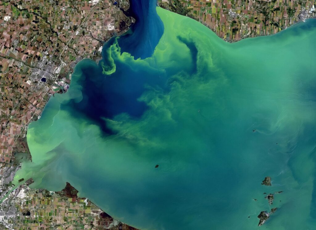
Every day, satellites circle our planet, collecting massive amounts of data about forests, coastlines, cities, and farmland. More than any team of analysts could ever read. The EO industries bottleneck is not a shortage of pixels but our ability to make sense of them quickly enough to act on what they show. This is where […]
The EUDR is rewriting global supply chains
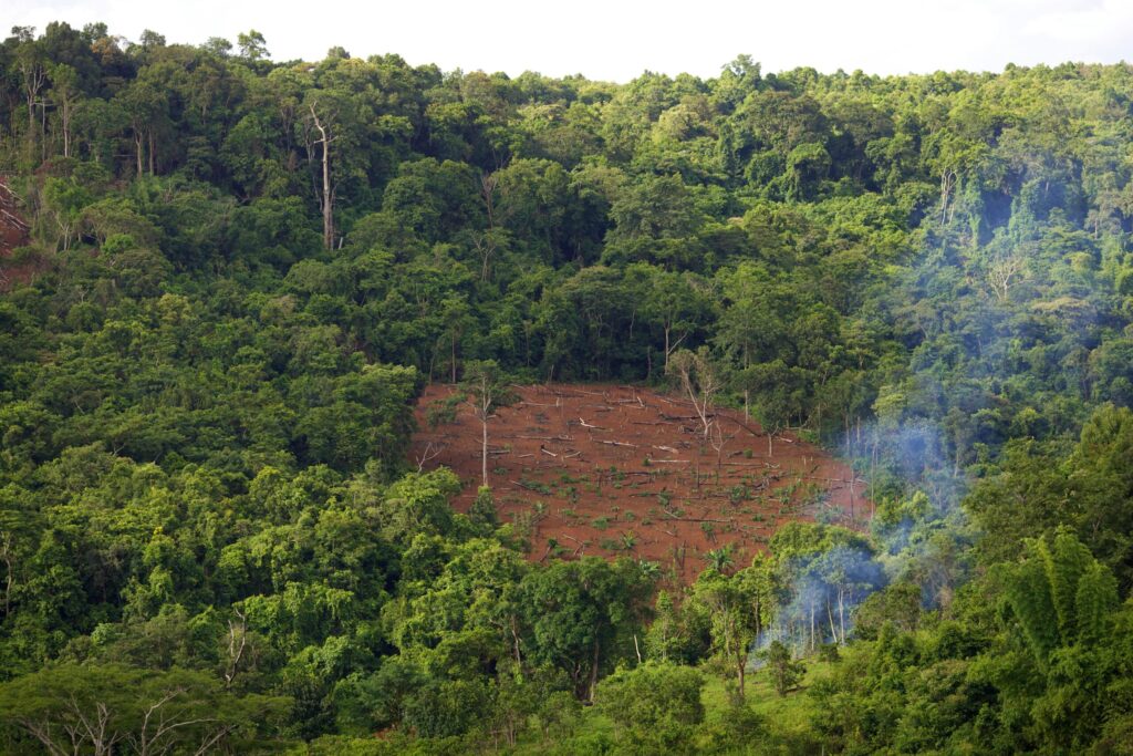
Demands, challenges and potential of the EU’s ambitious anti-deforestation measure The European Union Deforestation Regulation (EUDR) mandates all companies importing or exporting the seven main drivers of deforestation to prove their goods have not contributed to forest loss anywhere on Earth. This requires a level of supply chain visibility most businesses have never built, and […]
Synthetic Data for Flood Simulation
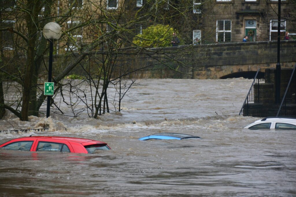
Only six weeks into 2026, increasingly moody and volatile weather has proved that our climate is changing much faster than the systems we use to monitor it. This has been made obvious by one of the most destructive threats so far this year: water.ðŸŒ§ï¸ Although #ExtremeWeather was downranked to fourth place among short-term risks in […]
Illegal mining: a global threat to our planet
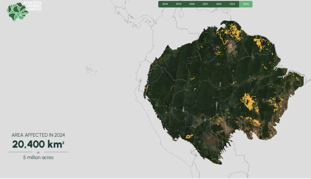
#ArtificialIntelligence is beginning to play a promising role in addressing this growing problem by analyzing satellite data to uncover illicit mining sites. The @Amazon Mining Watch platform is a fascinating example that demonstrates how the combination of these technologies can drive real change. Launched in 2020 by the @Pulitzer Center and @EarthGenome, with the support […]