Removing The Barriers for AI in Earth Observation
The Technology

The Technology

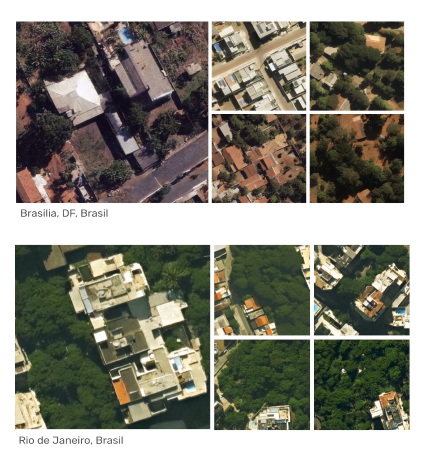
Generate Synthetic Earth observation data at scale, drastically reducing the volume and cost of real-world imagery required to train geospatial AI models.
Generate realistic imagery where real-world data is missing, incomplete, or impossible to capture—including rare objects, extreme weather conditions, remote geographies, and temporally consistent time-series datasets.
Eliminate manual labeling costs and human error with pre-annotated, masked, and segmented synthetic datasets.
Future-proof your data pipeline with a flexible engine that adapts to new regions, sensor modalities, spectral bands, and higher resolutions.
Synthetic datasets with flexible ingestion into existing MLOps pipelines, geospatial stacks, and cloud environments.
Model what-if scenarios with our synthetic data engine.
High cost of high-resolution satellite data. High cost of annotation and segmentation.
Human Error rate and differing interpretations reduce accuracy by up to 50%
Differing regions, sensor types and resolutions result in at least 20% accuracy loss. Global South underrepresented
Unlimited amount of synthetic training data with pixel-perfect labels
Significant reduction of cost and error rate through synthetic annotation.
Futureproof data through quick adaptation to new sensors, resolutions, and regions.